Precision Drone Services
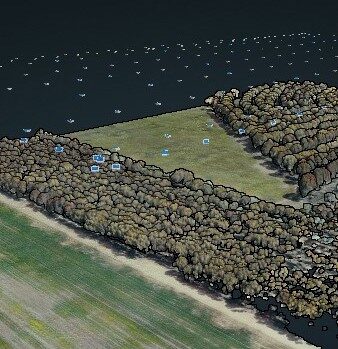
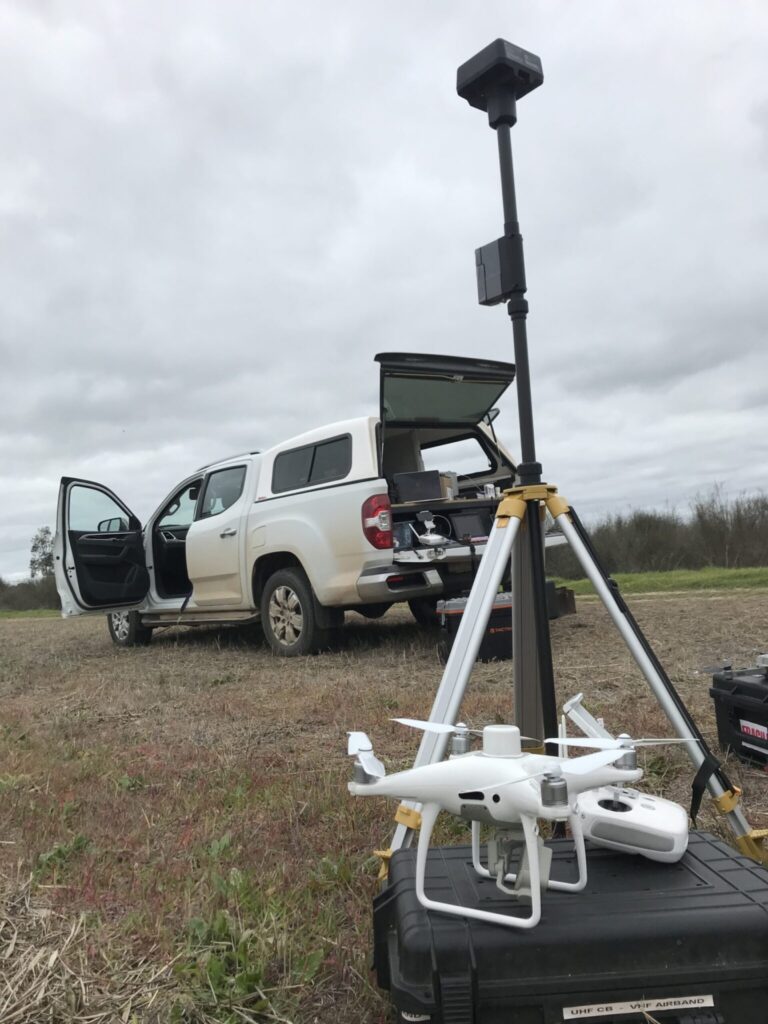
Firetail Environments is a specialist UAV operator in central Victoria providing specialised drone and aerial surveys and services in photogrammetry, multispectral, thermal and LiDAR disciplines with an extremely good reputation in developing appropriate solutions for your required outcomes and delivering those outcomes in a collaborative way with clients.
There are numerous options in delivering appropriate UAV outcomes depending on the questions and investigations being posed. Firetail prides itself on understanding the intended outcomes and developing the required workflows and deliverables to provide the most appropriate data for your project.
Our services include:
- Aerial Photography
- Photogrammetry & land surveys
- Volumetric reports
- Multispectral plant health assessments
- Photopoint monitoring
- Videography & project documentation
- Thermal mapping and inspection
- Asset inspections & progress reports
- Landscape planning and GIS reporting
- Design and delivery of drone programs for groups and organisations
We design and deliver projects of any scale and tailor the technical requirements, reporting and delivery to your needs.
Firetail provides significant experience in software packages ranging from map processing and GIS platforms to 3D modelling, drafting (CAD) advanced mapping and landscape assessment platforms, editing and graphic design.