Landscape Surveys
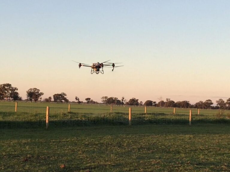
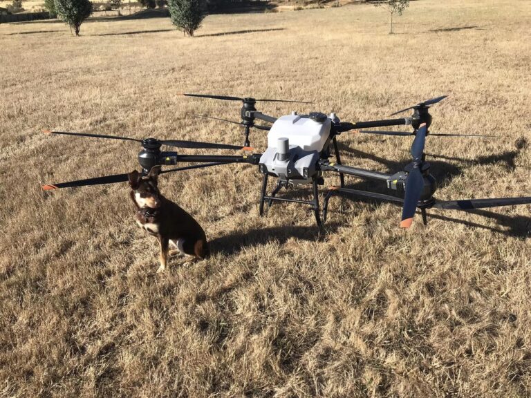
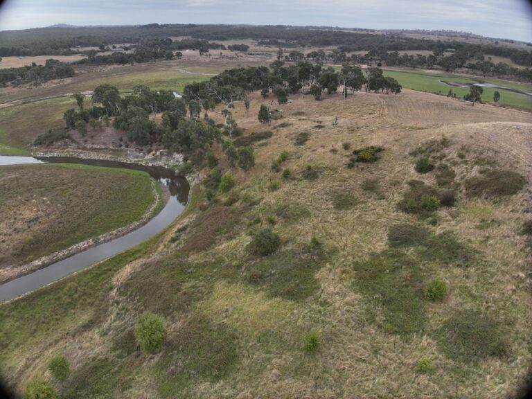
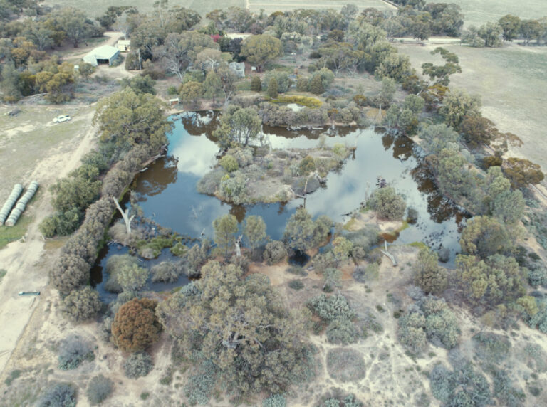
Providing high resolution maps from above, collecting data used for terrain, hydrology, vegetation & canopy assessment, project planning and more.
Multispectral Surveys
Capturing plant reflectance, vegetation and weed surveillance data and processed to create map overlays for specialist analysis.
LiDAR
Three dimensional precision surveys collecting detailed data rich models for mapping terrain, vegetation, assets & infrastructure, carbon and landscapes.

