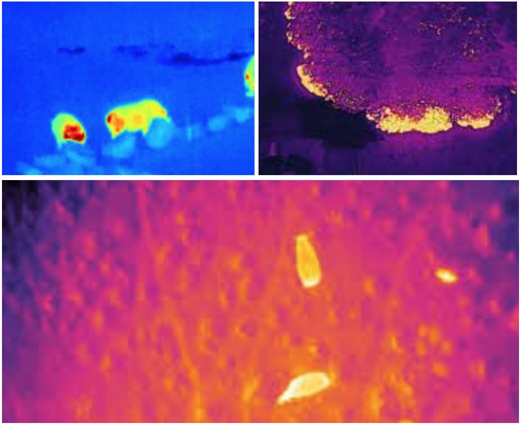
Using drones for thermal inspections of assets, environmental conditions and to locate vertebrate species provides a safe, efficient, and cost-effective solutions for identifying specific areas of interest or prescribed targets for pest vertebrate management.
Deploying thermal drone workflows can provide flexibility in:
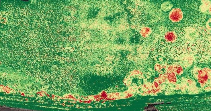
Accessing remote or dense areas to create thermal maps
Identify vertebrate pest targets for management or surveillance
Conduct transects and searches of vertebrates for data collection, surveys and reporting
Analyse fire operations or wildfire
Provide assistance in counts or identification of vertebrate species in conservation or pest management.
Utilising these methods can swiftly scan large areas, and capture real-time thermal data collecting critical information that can be utilised immediately (eg. conveyed to on-ground extermination crews) or analysed and repeated to create baseline data and build upon inspection intervals.
High-resolution thermal images captured by our drones can be analysed and processed into comprehensive reports, providing detailed insights for more informed decision-making in a fraction of the time in takes for conventional inspection or monitoring practices.
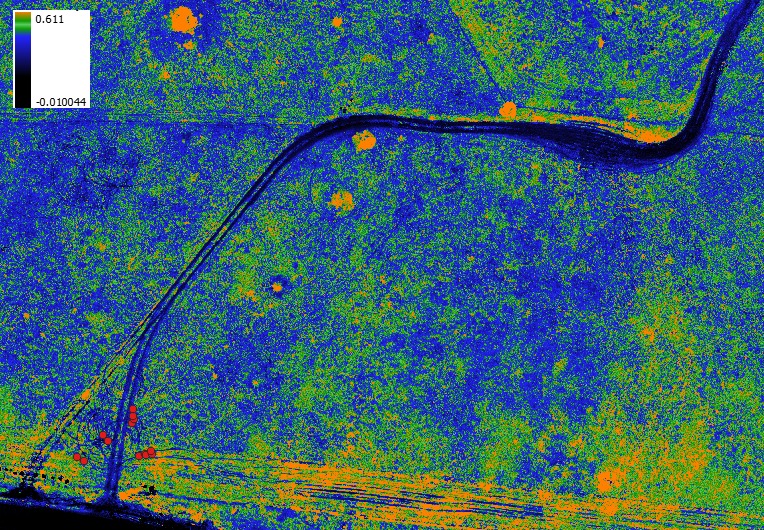
MAPPING + POSITIONING FOR ONGROUND APPLICATIONS
Utilising leading drone technology, onground delivery of products and materials can be applied in tandem with precision positioning and multispectral mapping data providing the ability to target specific areas and species identified through the mapping process resulting in savings in time and product.
Get in touch...
Firetail Environments is a premier and specialist UAV operator based in Central Victoria