Drone Basics – a comprehensive introductory course to the capabilities of drones and simple workflows for commercial use.
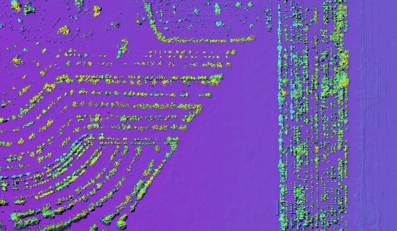
Advanced Drone Photogrammetry – Advanced techniques to get the most out of your photogrammetry surveys.
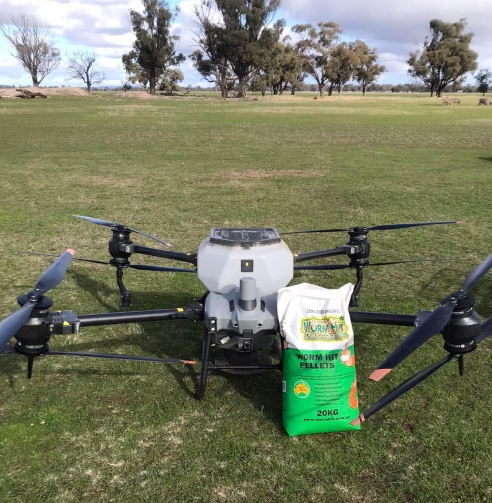
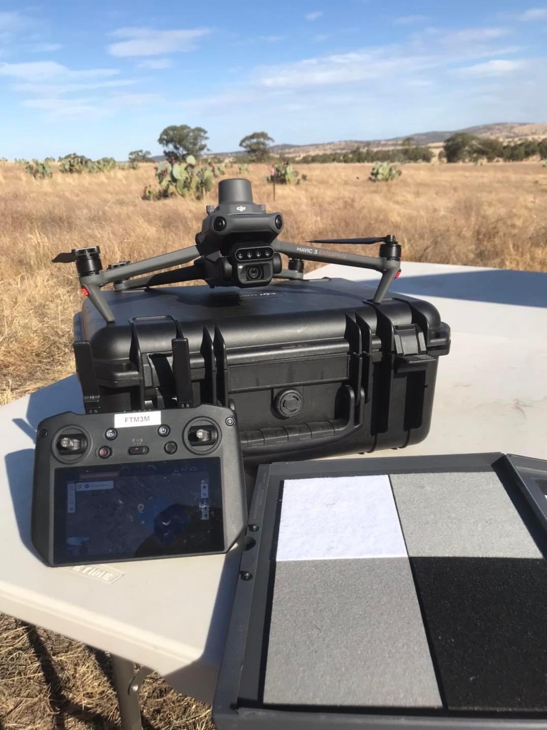
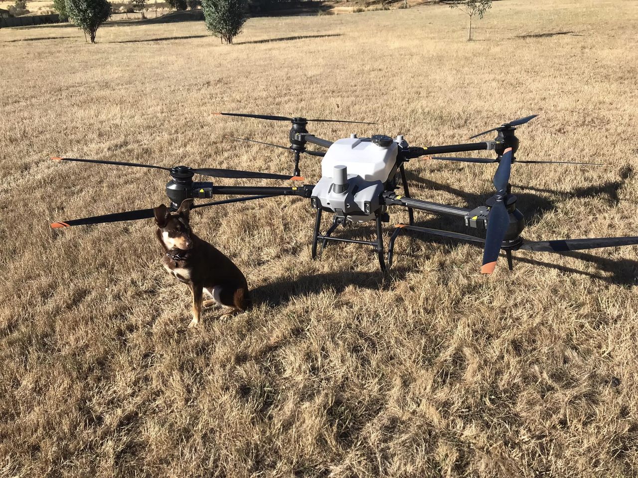
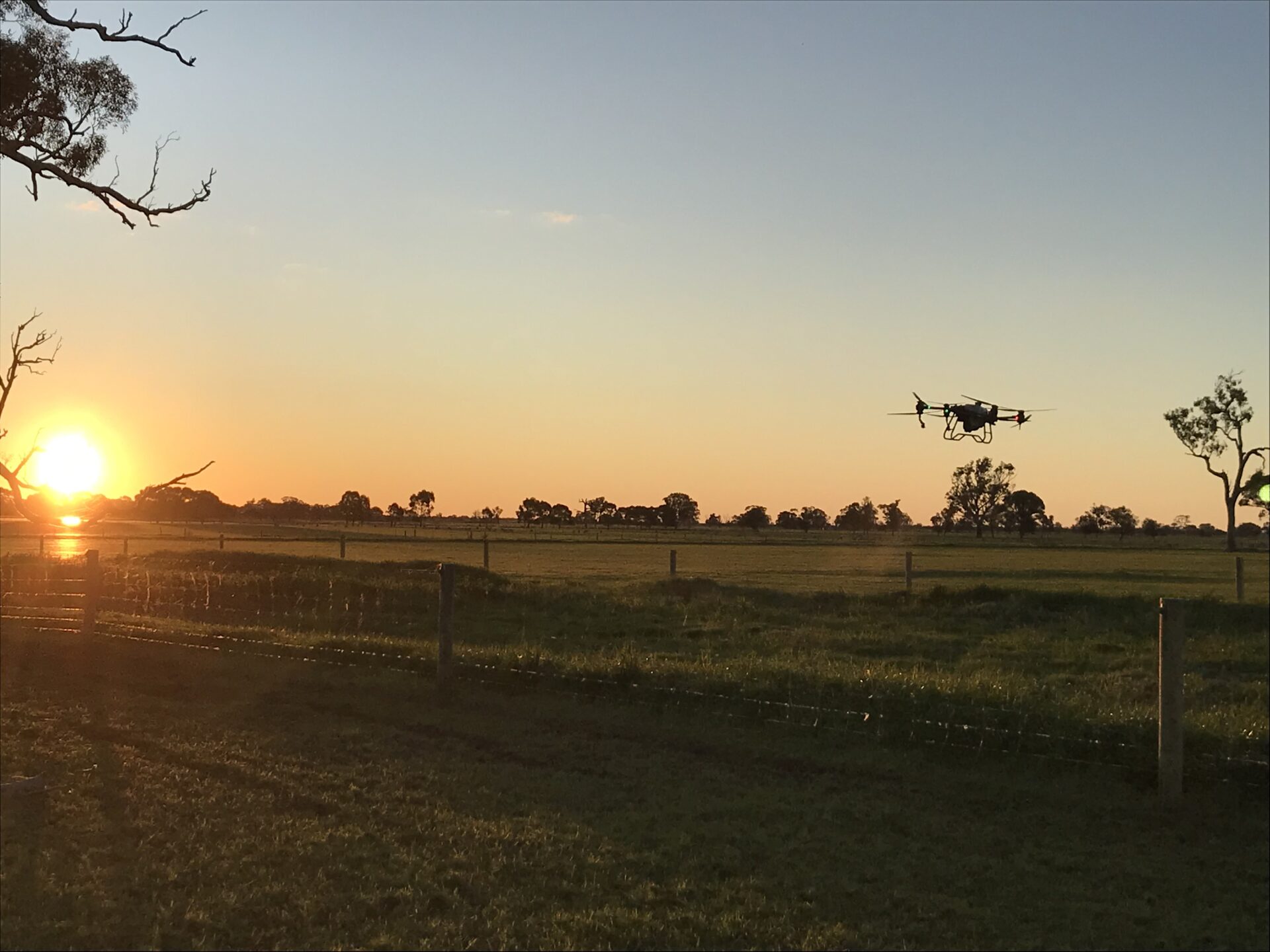
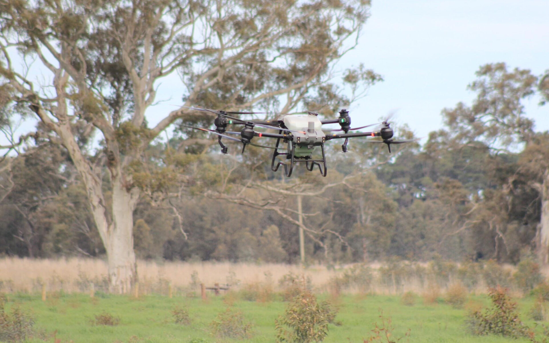
T40 and Mavic 3 Workflows for Agricultural Operations – A deep dive into using DJI T40 Agras alongside the DJI Mavic Enterprise series to provide advanced on-ground services to your clients.
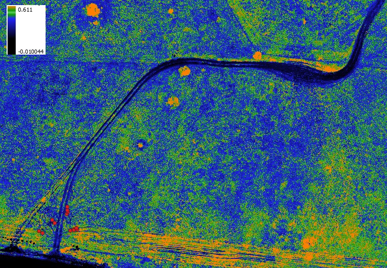
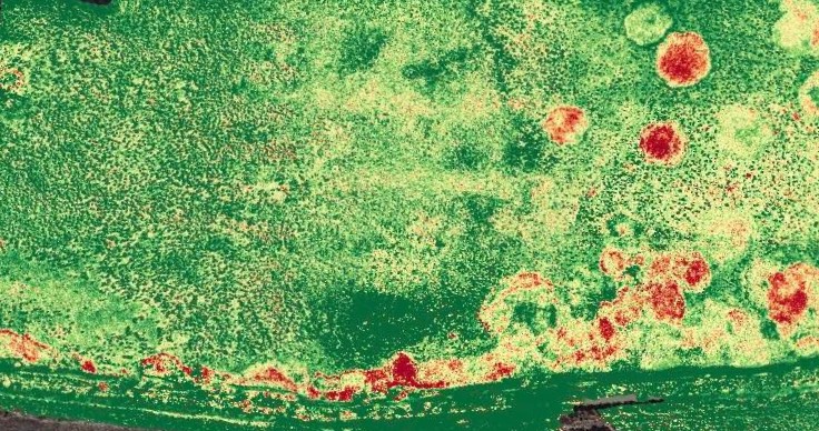
Quick Start Guide to Multispectral Mapping and Data – A comprehensive introduction to multispectral survey capture and analysis.
Comprehensive Workshop on Advanced Multispectral Analysis – Building on introductory skills to make better use from multispectral surveys including data capture and advanced data control and GIS analysis.
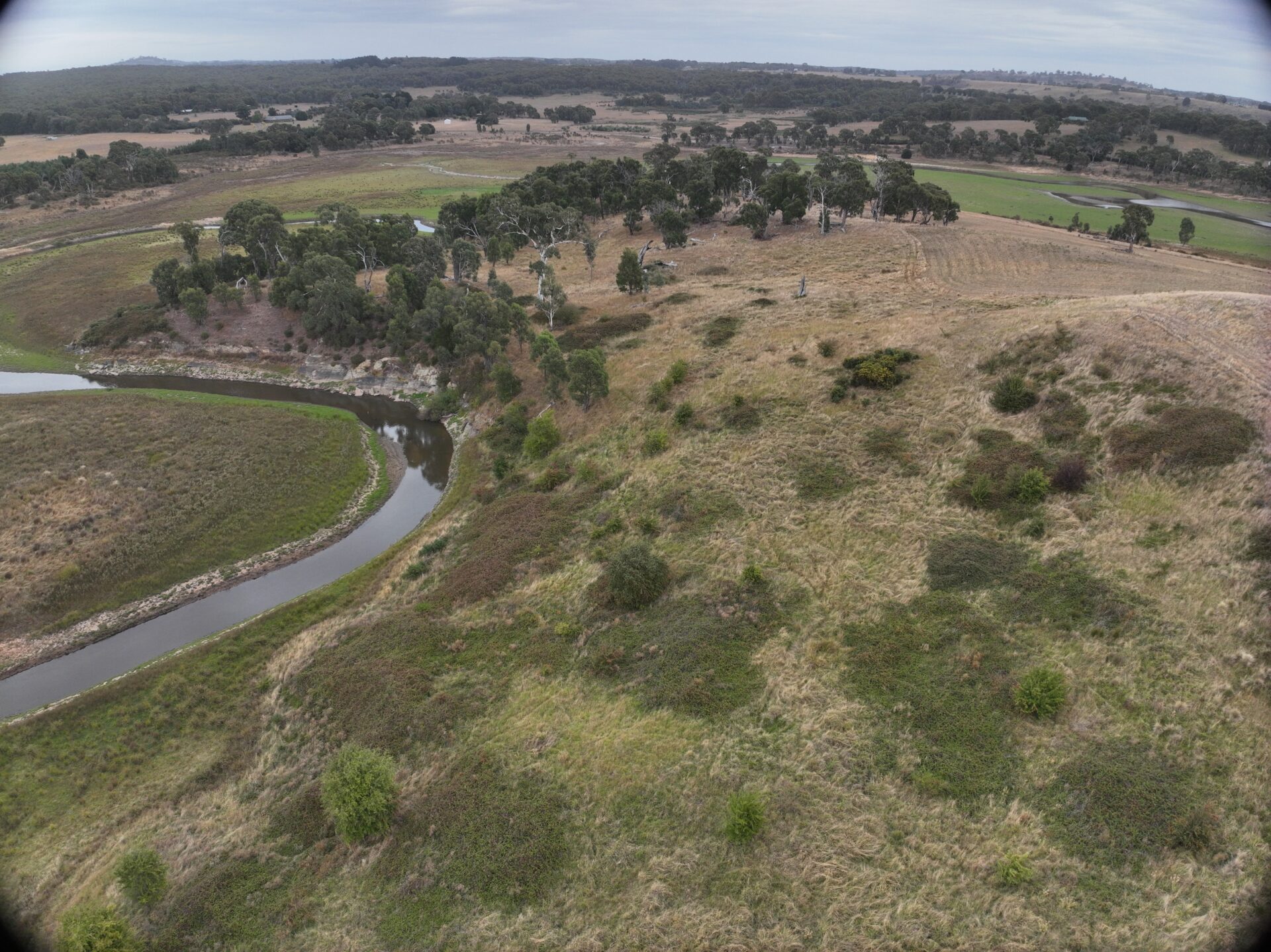
Advanced drone photogrammetry Practices
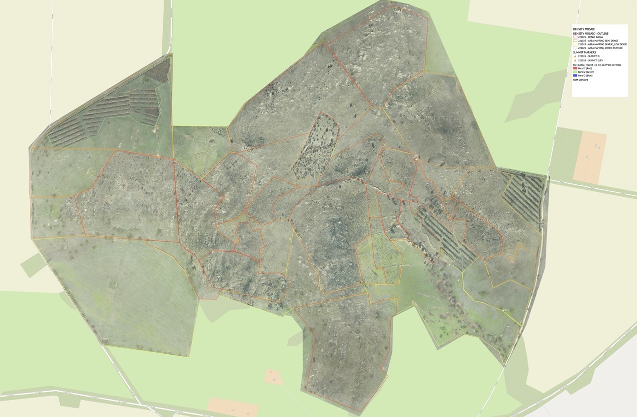
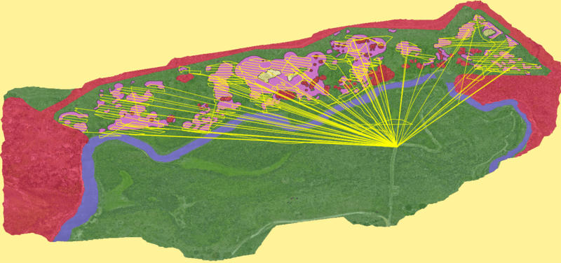
This course is designed to provide land managers and new drone users the necessary skills and knowledge to collect appropriate data to generate appropriate land use maps.
This course will provide material to understand fundamental planning concepts to generate high resolution geo referenced data and produce and work with high resolution maps, crop management and digital elevation models providing key data insight into long term management plans.
The course aims to develop knowledge and skills in:
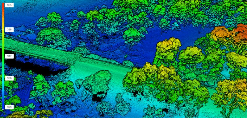
Understanding key fundamentals in data acquisition and precision positioning
Acquisition of high quality map data
Working with data in Geographic Information Systems (GIS)
Processing data to create valuable working maps of target areas
T40 and Mavic 3 Workflows for Agricultural operations
A deep dive into using DJI T40 Agras alongside the DJI Mavic Enterprise series to provide advanced on-ground services to your clients, this course offers participants a comprehensive guide to establishing best practice workflows for T40 Agras alongside scout or mapping drones.
This 6 hour course includes planning workflows in controller and in DJI Terra, utilising GIS platforms such as Google Earth Pro and QGIS for planning, utilising base layers generated from mapping target areas with mapping drones such as M3E series, introduction to GNSS positioning and controlling data workflows.
These courses are delivered a day or two 3-hour sessions and include delivered presentation content, case studies and a session that walks participants through their own example area.
All training will be delivered as live online sessions with some pre-recorded segments included.
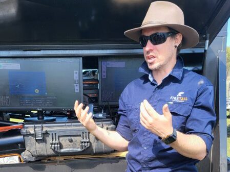
Danny, Director of Firetail Environments, specialises in precision drone services for advanced environmental and weed management. With a diverse background in design, engineering, land management and education, Danny promotes landscape restoration and biodiversity outcomes through innovation in conservation, agriculture, native forestry, and carbon disciplines.
As a recognised specialist in UAV operations, Danny is highly sought after for his proficiency in multispectral reflectance, ecological mapping inc. LiDAR, and on-ground workflow design and implementation. His work contributes significantly to improving agricultural practices through innovative drone technology applications. He applies his expertise to advance landscape scale outcomes, with a particular emphasis on carbon management, biodiversity conservation, and drone-based solutions.
Danny has served on the Board of Landcare Victoria Inc., is a current member of the City of Bendigo Farming Advisory Board, and was recognized as a finalist for the Landcare Australia Bob Hawke Award in 2020.