LiDAR
DRONE SURVEYING + AERIAL MAPPING
LiDAR drone surveys collect precise and detailed three dimensional data of target areas. This technology is much more detailed and advanced when compared to other terrain modelling photogrammetry and uses highly accurate laser and sensing technology to measure distances inside the target area.
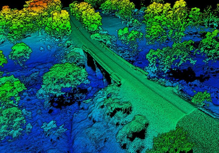
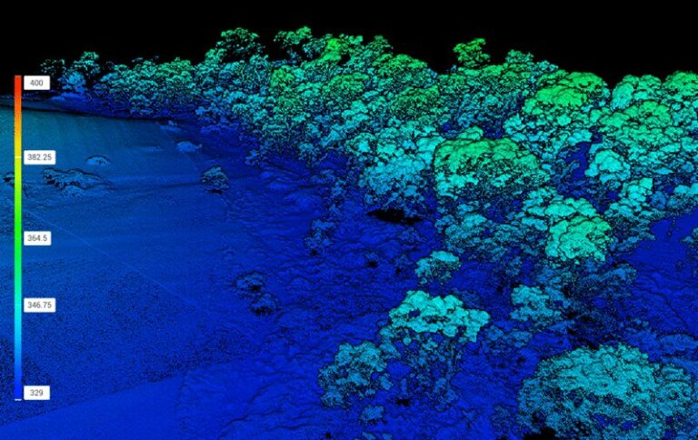
By emitting laser pulses and measuring the time taken for them to reflect back, LiDAR data provides highly accurate 3D point clouds, providing the ability to process this data into colourised maps and models.
LiDAR from drones offers numerous applications, including topographic mapping, vegetation analysis, infrastructure inspection, flood modelling, and urban planning. It provides valuable data for industries such as agriculture, forestry, and conservation.
The advantages of using LiDAR includes its speed, mobility, and ability to reach inaccessible areas.
It allows for faster data collection compared to traditional methods and can cover large areas efficiently. The high-resolution data outputs collected by LiDAR enables better decision-making, resource management, and problem-solving in various fields.


