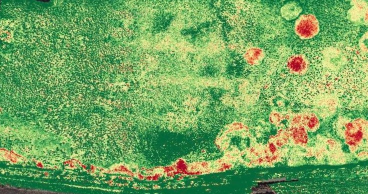
Multispectral surveys capture light in red, green, near-infrared and red edge wavelengths to produce colour and colour-infrared images of target areas.
Multispectral imaging and photogrammetry is a great tool to understand reflectance, health and composition of plants or plant communities.
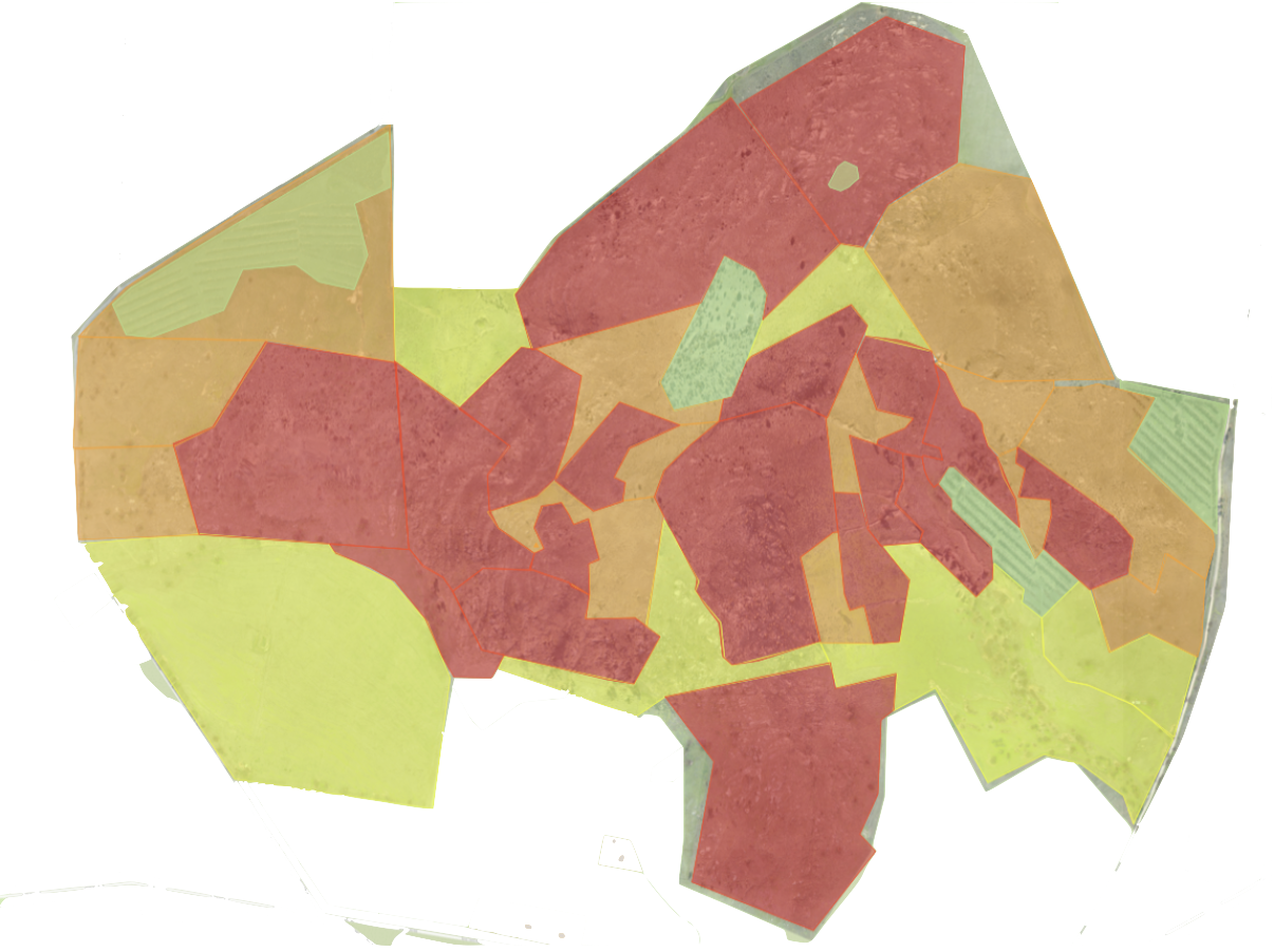
With the proper equipment, plant reflectance imagery can be collected with a drone and processed to create map overlays that can give a wealth of potentially cost saving information.
Multispectral imaging helps the decision making and assessment process easier by delivering plant health and flora analysis data when looking at particular impacts or land use actions.
Changes in reflectance can indicate the stress levels and activity levels in vegetation and plant communities and allow opportunities for more detailed and specific decision making practices actively responding to the state of the plant community.
There are huge benefits to environmental impact management and other applications including:
Targeted use of chemicals
weed treatment and surveillance
vegetation restoration projects
flora reporting and management
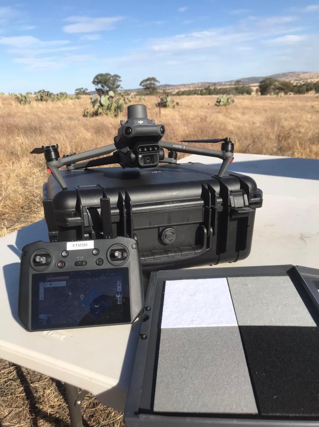
For best results, Firetail uses precision positioning and absolute reflectance workflows in order to provide detailed replicability across survey instances.
Get in touch...
Firetail Environments is a premier and specialist UAV operator based in Central Victoria