Mapping Mt. Buckrabanyule
Mapping | Assessment
Country
Dja Dja Wurrung
Scope
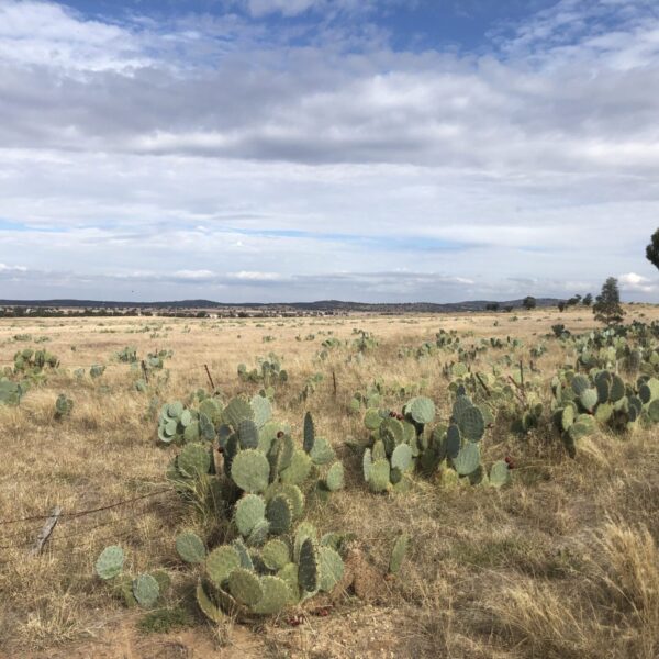
Aerial mapping and landscape assessment of Wheel Cactus (Opuntia robusta) at Mt Buckrabanyule in central Victoria.
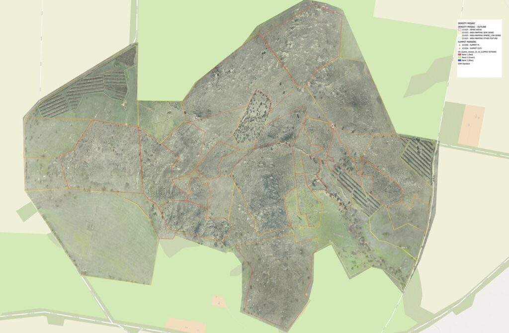
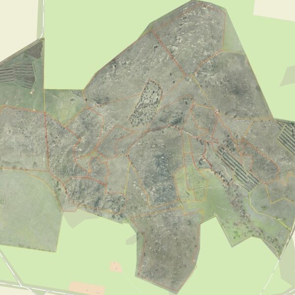
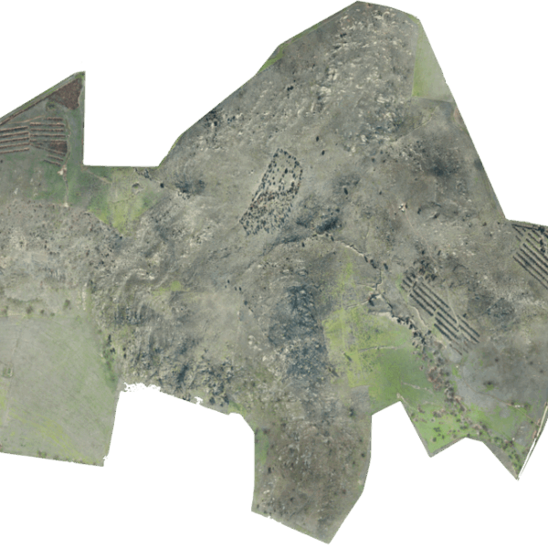
Firetail Environments was engaged to undertake high resolution mapping services for RGB and multispectral mapping of the property to provide better data and resources to combat invasive Wheel Cactus across the area.
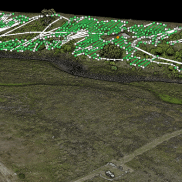
An aerial survey was conducted and mapping developed to assess density by area, provide highly detailed maps for landscape assessment, and plant health was assessed to better understand treatment options for the property.
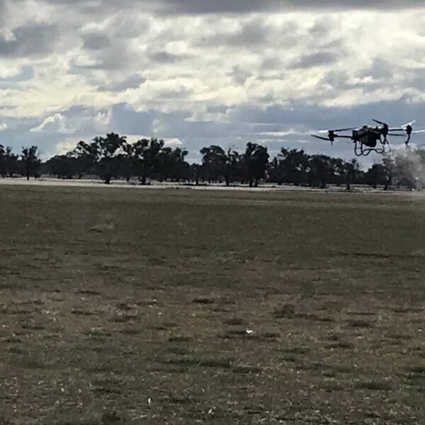
This project forms part of a Traditional Owner led program to eradicate Wheel Cactus from the 300+ hectare property and works with Djaara Traditional Owners, Bush Heritage Australia and the community to advance control techniques for Wheel Cactus in central Victoria.

