Photogrammetry + orthomosaic surveys
LANDSCAPE SURVEYS
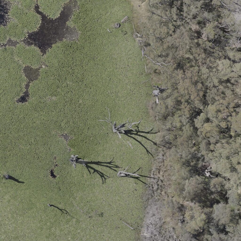
Mapping data collected and processed for GIS applications for data assessment including vegetation cover, canopy assessment, water levels or inundation and general landscape survey maps.
These surveys provide accurate mapping data embedded with GIS positioning and elevation data, allowing for a deeper analysis of data and scenario.
Photogrammetry is the process of a drone capturing a large number of high-resolution photos over an area. These images overlap such that the same point on the ground is visible in multiple photos and from different vantage points. In a similar way that the human brain uses information from both eyes to provide depth perception, photogrammetry uses these multiple vantage points in images to generate coordinate referenced maps, including 2D or 3D mapping data that enables end users to engage and analyse the captured data for more effective decision making and documentation uses.
The result is high-resolution coordinate referenced reconstructions that contain elevation and terrain information, high resolution imagery and 3D data for every point on the map, enabling data interpretation and analysis of the resulting outputs.
Drone systems that use photogrammetry are cost effective and provide outstanding flexibility in terms of where, when, and how data is captured.


