Training
Firetail Environments offers a range of drone training courses built for field practitioners to get the most out of their fleet, training packages are intended to provide participants with the confidence and skills to create best-practice solutions that work for them.
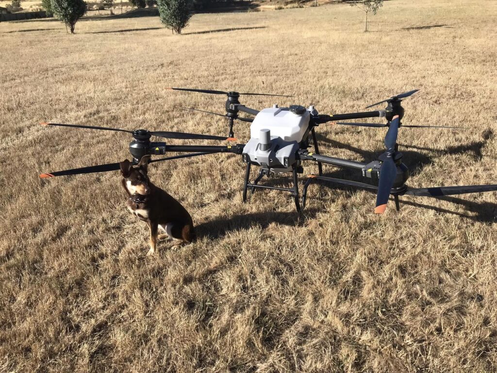
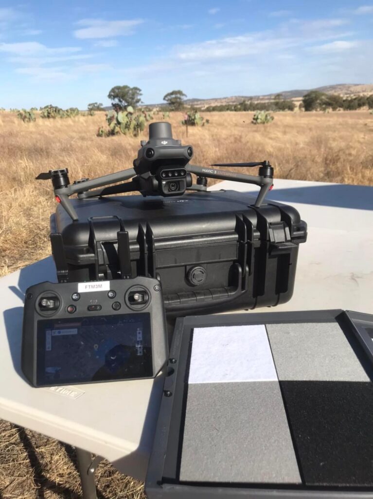
T40 and Mavic 3 Workflows for Agricultural operations
A deep dive into using DJI T40 Agras alongside the DJI Mavic Enterprise series to provide advanced on-ground services to your clients, this course offers participants a comprehensive guide to establishing best practice workflows for T40 Agras alongside scout or mapping drones.
The 6 hour course will include planning workflows in controller and in DJI Terra, utilising GIS platforms such as Google Earth Pro and QGIS for planning, utilising base layers generated from mapping target areas with mapping drones such as M3E series, introduction to GNSS positioning and controlling data workflows.
The course will be delivered over three 2-hour sessions and include delivered presentation content, case studies and a session that walks participants through their own example area.
All training will be delivered as live online sessions with some pre-recorded segments included.
Course Three – FILLING FAST!
Three 2-hour sessions 4pm to 6pm
January 17th,
January 24th and
January 31st
Course Four
Two 3-hour sessions 2pm – 5pm
Session One: February 15th
Session Two: February 22nd
Advanced Multispectral Analysis with Multispectral Drone Data
Collecting and working with multispectral drone data
This course offers participants a comprehensive guide to understanding multispectral plant reflectance utilising UAV technology.
Over three 2-hour sessions, this course will provide introductions to photogrammetry and multispectral analysis concepts including:
– Setting up precision positioning workflows
– How vegetation indices work and identifying appropriate formulae
– Identifying appropriate workflows,
– Processing data for analytical and agricultural applications and basic analysis techniques.
Training will be held in an online Zoom classroom.
Links will be provided ahead of scheduled classes.
Course One
Three 2-hour sessions 4pm to 6pm
January 25th, February 1st and February 8th
Course Two
One full day session from 10am to 5pm AEST
February 14th
Firetail Environments offers a range of drone training courses built for field practitioners to get the most out of their fleet, training packages are intended to provide participants with the confidence and skills to create best-practice solutions that work for them.
Current online training packages include:
- Drone basics – a comprehensive introductory course to the capabilities of drones and simple workflows for commercial use.
- Advanced drone photogrammetry – Advanced techniques to get the most out of your photogrammetry surveys.
- T40 and Mavic 3 Workflows for Agricultural operations – A deep dive into using DJI T40 Agras alongside the DJI Mavic Enterprise series to provide advanced on-ground services to your clients.
- Quick start guide to multispectral mapping and data – A comprehensive introduction to multispectral survey capture and analysis.
- Comprehensive workshop on advanced multispectral analysis – Building on introductory skills to make better use from multispectral surveys including data capture and advanced data control and GIS analysis.
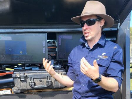
About the Educator: Danny Pettingill
Danny has been using drones in environment and agriculture applications for more than 5 years, he has extensive experience as a technician across a 20 year career including fabrication, performance and event design, project management, lighting engineering and delivering tertiary education.
He has experience in community engagement, education and design across a number of industries, and applies these skills to sustainable and regenerative agriculture, carbon, biodiversity and drone survey & on-ground services and analysis. He is a sought after specialist in UAV operations, particularly in multispectral reflectance and on ground workflow design and implementation.
In 2020, Danny was a top 12 finalist for the National Landcare Australia Bob Hawke Award for efforts and actions in promoting sustainable agriculture in Victoria.